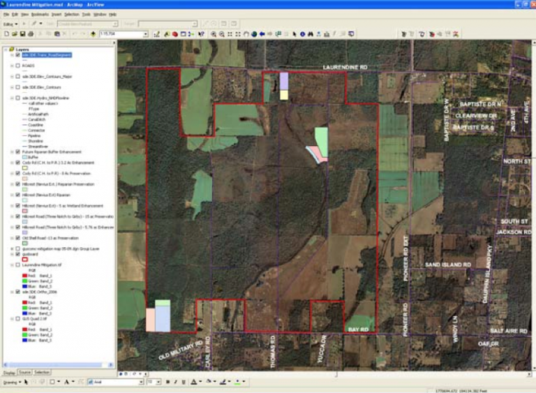
Constantine Engineering professionals worked with the staff of Mobile County (AL) Environmental Services Department to customize existing GPS survey data and GIS geodatabases into an integrated mapping system.
Specific tasks performed as part of this project include:
- Developing a data dictionary structure or Mobile County’s wetland mitigation bank land management efforts
- Processing the County’s existing LIDAR data to produce topographic contours for the wetland mitigation bank area
- Converting ArcMap geodatabases to ArcPad shapefiles for use on handheld GPS units
- Drafting GIS/GPS methodology
- Training County staff on using, updating, and maintaining the data on bothe the GIS server and the GPS handheld units
The staff now uses this GIS tool to manage County-owned property designated for wetland mitigation bank use.